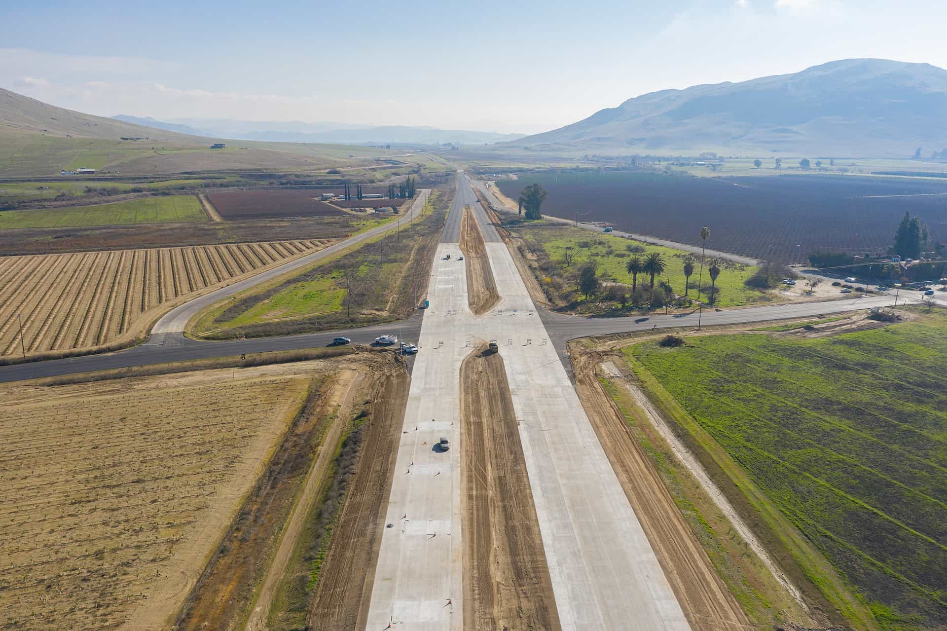
The California Department of Transportation (Caltrans) and Fresno County Transportation Authority (FCTA) built the last segment of the Kings Canyon Expressway. It extends the 4-lane expressway by 4.5 miles. This segment goes from Smith Avenue to Frankwood Avenue in Eastern Fresno County. The $55 million project broke ground on October 12, 2017 and was finished in December 2020. It is a crucial route between Fresno and the Kings Canyon and Sequoia National Parks.
The expressway now provides:
- improved traffic flow
- reduced congestion
- enhanced safety
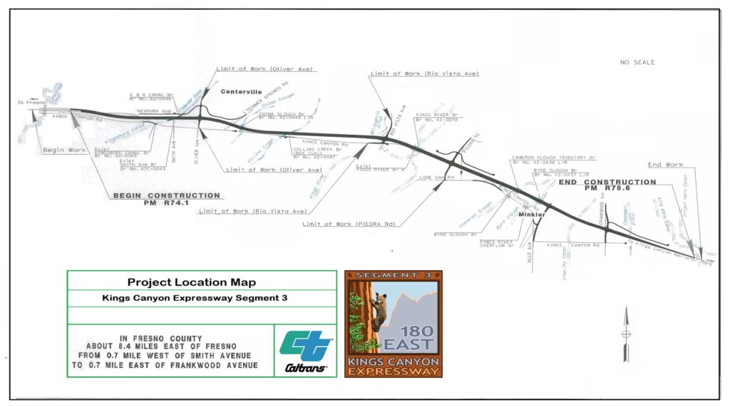
Image description
A project location map for Kings Canyon Expressway Segment 3 in Fresno County, California. The map outlines the construction area from 0.7 miles west of Smith Avenue to 0.7 miles east of Frankwood Avenue. Important locations such as Centerville and Minkler are marked, along with major roads and waterways, including the Kings River. The map indicates the project’s start at PM R74.1 and end at PM R78.6. A Caltrans logo is included, along with an emblem for Segment 3 of the Kings Canyon Expressway, featuring “180 East” and an illustration of a rock formation.