Project Highlights
Here are some of Measure C’s biggest projects with the County of Fresno so far!
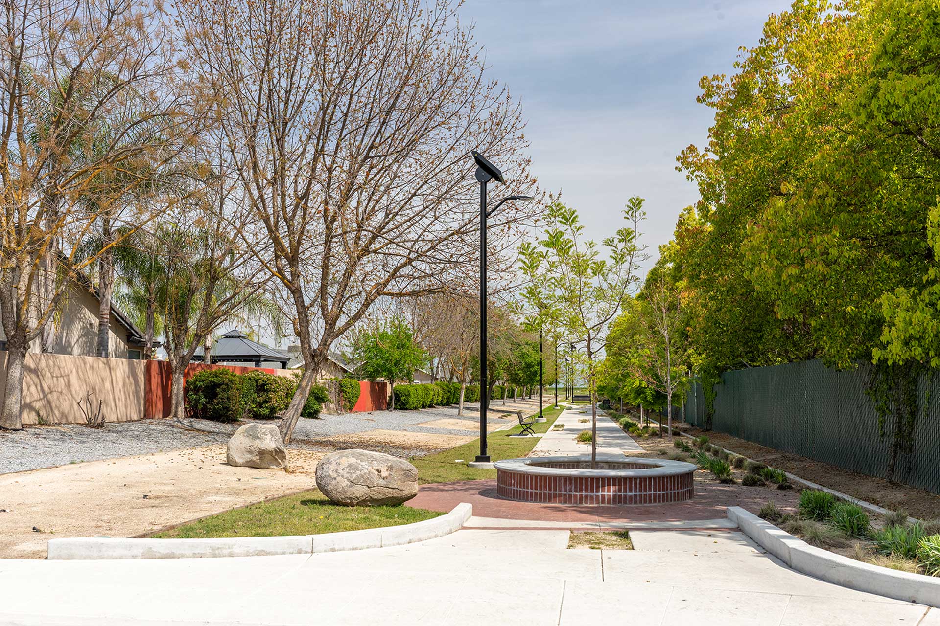
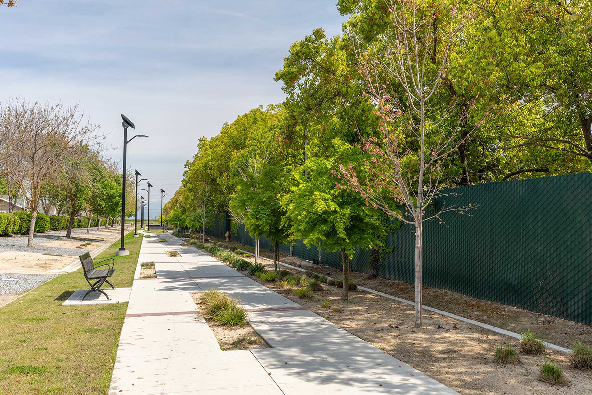
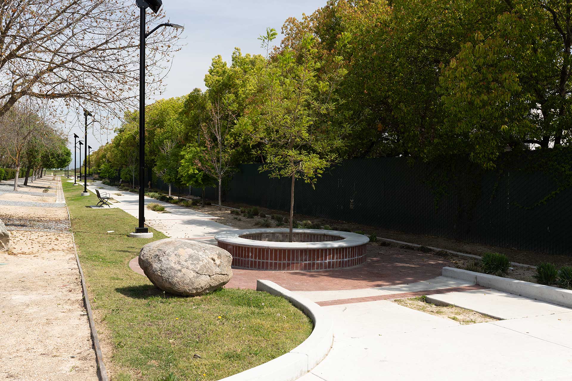
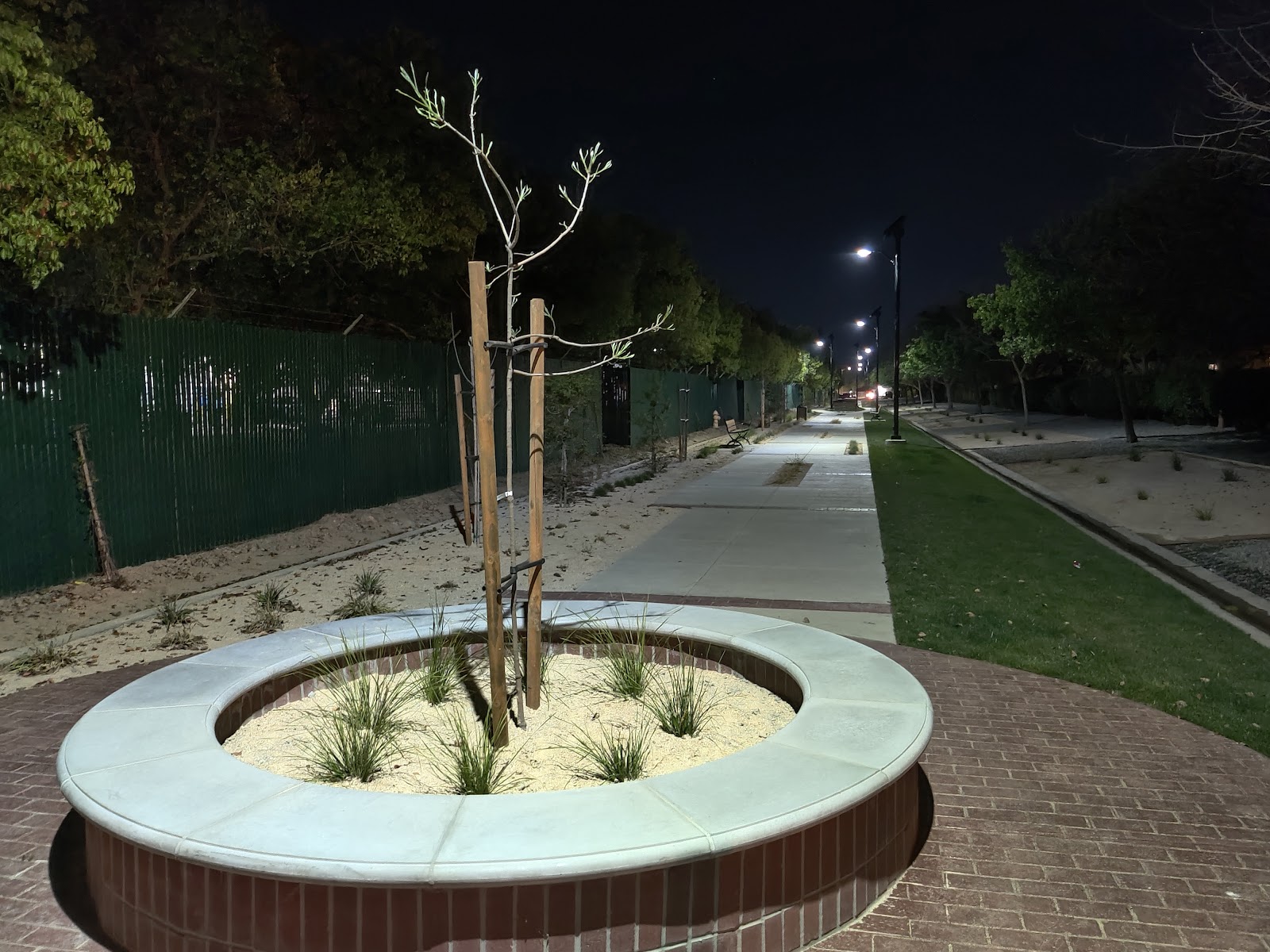
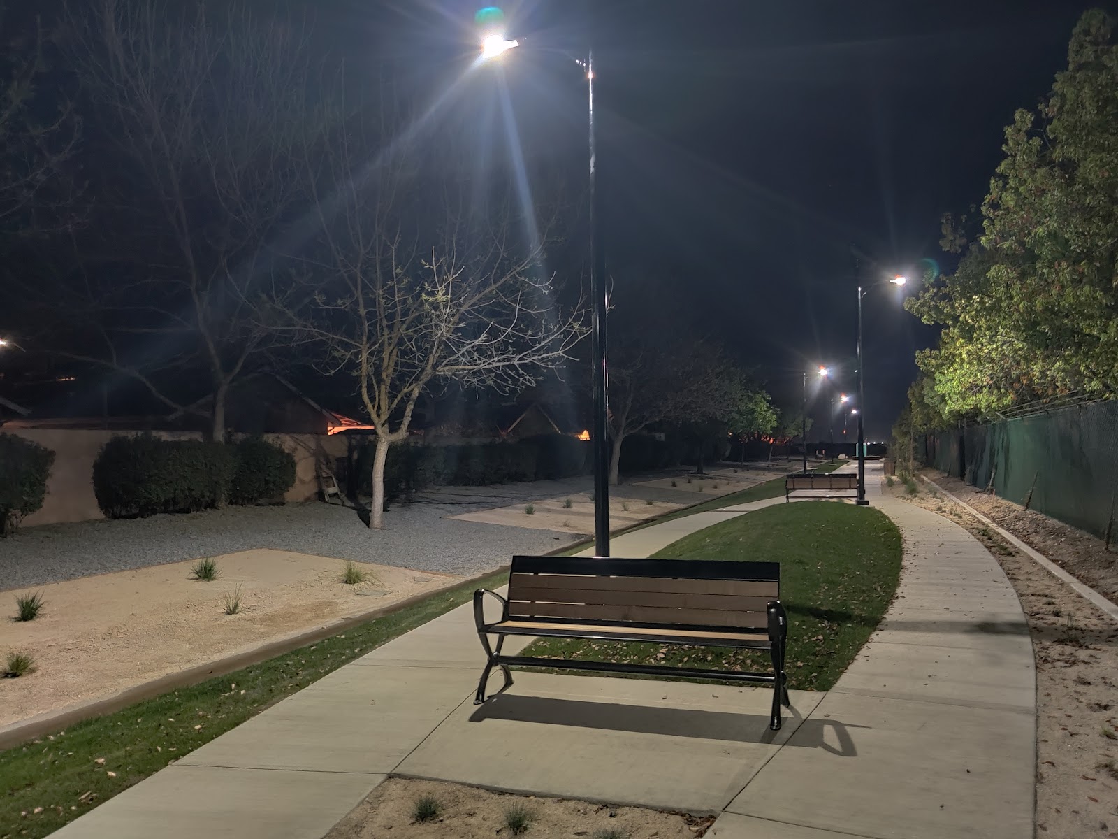
Lost Lake Nature Trail (at Lost Lake Park)
Project Description
This project aims to enhance accessibility and make the surface more durable for about 3,100 feet of trail. This project involves minor grading and better defining the trail. It will also improve part of the trail to make it accessible for people with disabilities. This area is about 120 feet from the parking lot to a classroom structure.
Project Location
Lost Lake Park
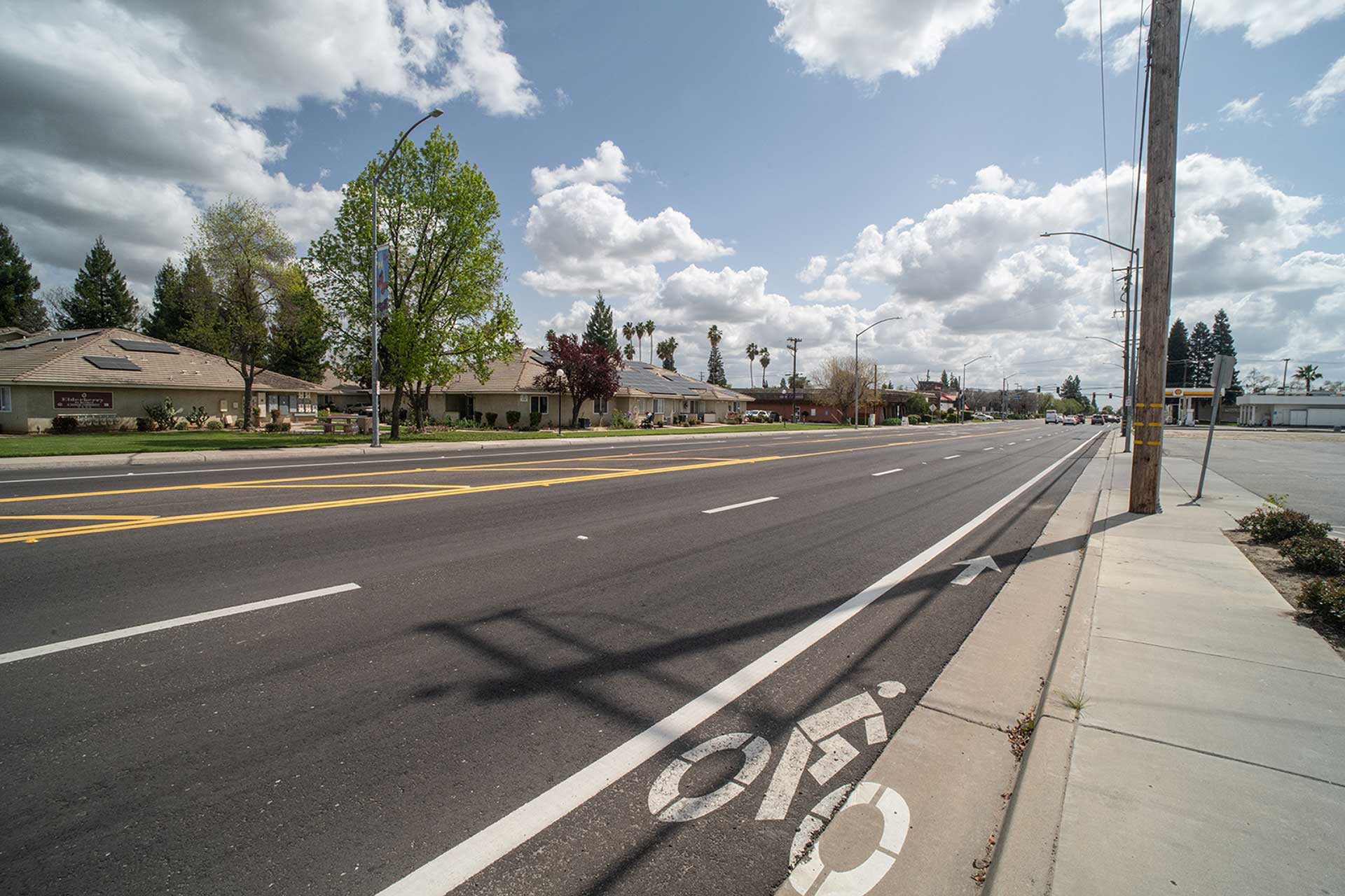
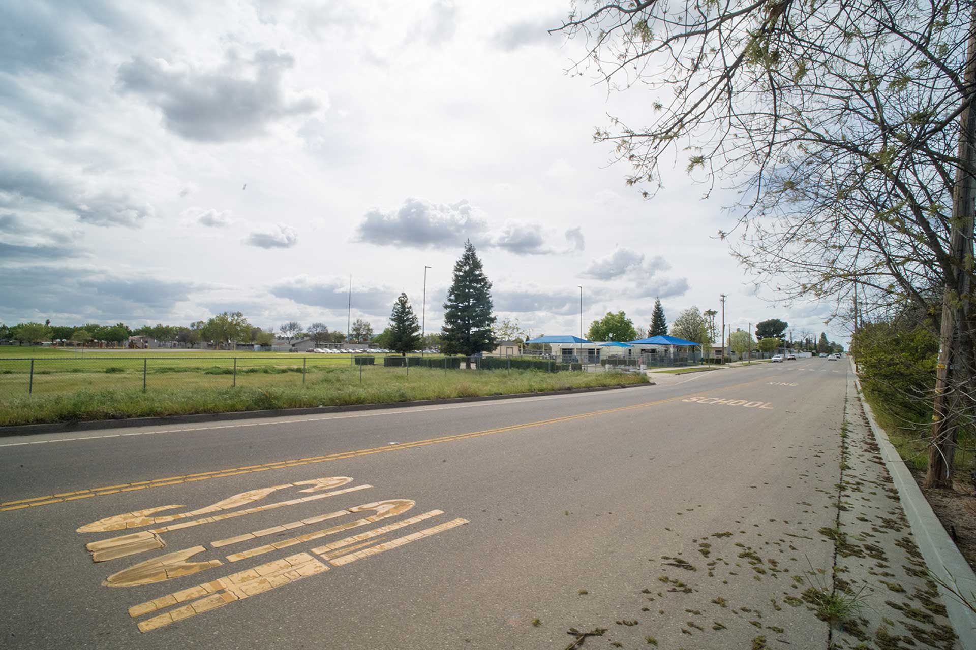
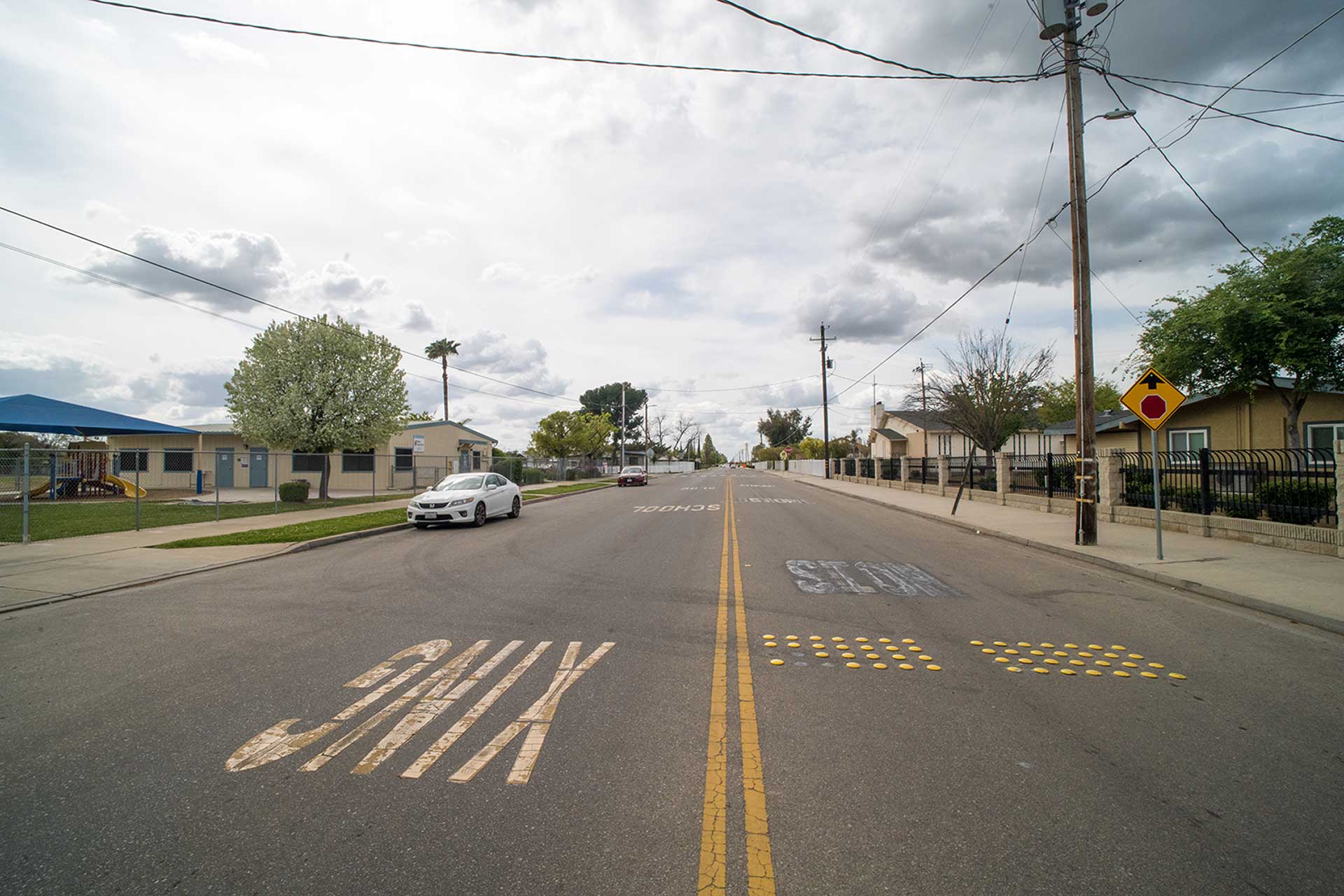
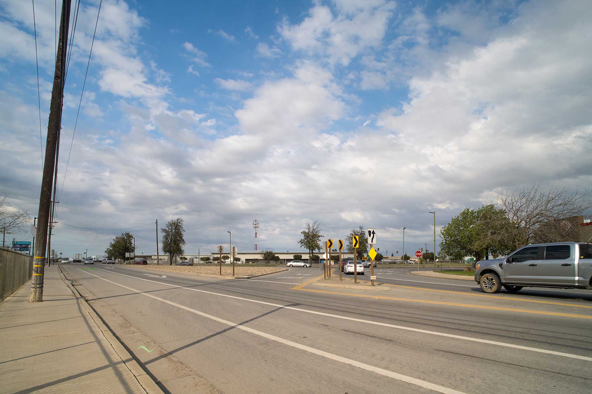
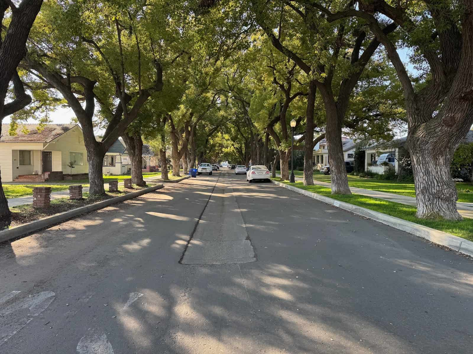
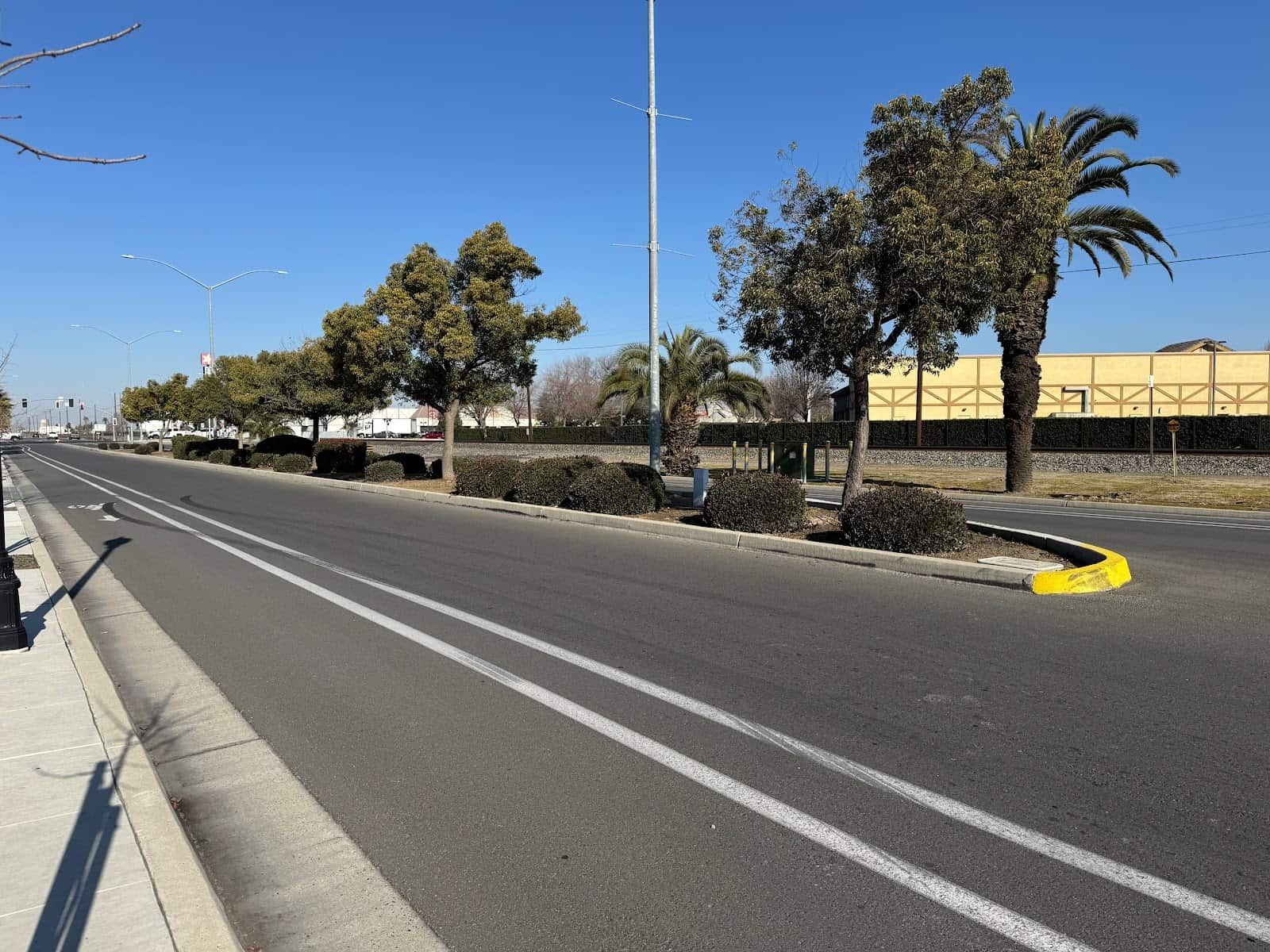
Fancher Creek Trail
Project Description
This project involves building a 10-foot wide trail. It will be for both horses and pedestrians. The trail will use stabilized decomposed granite. It will cover about 1.12 miles over compacted native soil. The trail starts on the south side of Kings Canyon Road, west of Clovis Avenue. It goes south, crossing Butler Avenue. The trail ends west of Clovis Avenue, about halfway between Butler Avenue to the north and Church Avenue to the south. The project will build a 5-stall parking area. This includes one ADA-compliant stall, a hitching post, removable bollards, and a crosswalk at Butler Avenue. The project includes removing trees and stumps. It also involves safety pruning along the entire right-of-way. Finally, the right-of-way will be cleared for construction.
Project Location
From the south sude Kings Canyon Road, west of Clovis Avenue. It goes south, crossing Butler Avenue. The trail ends west of Clovis Avenue, about halfway between Butler Avenue to the north and Church Avenue to the south.
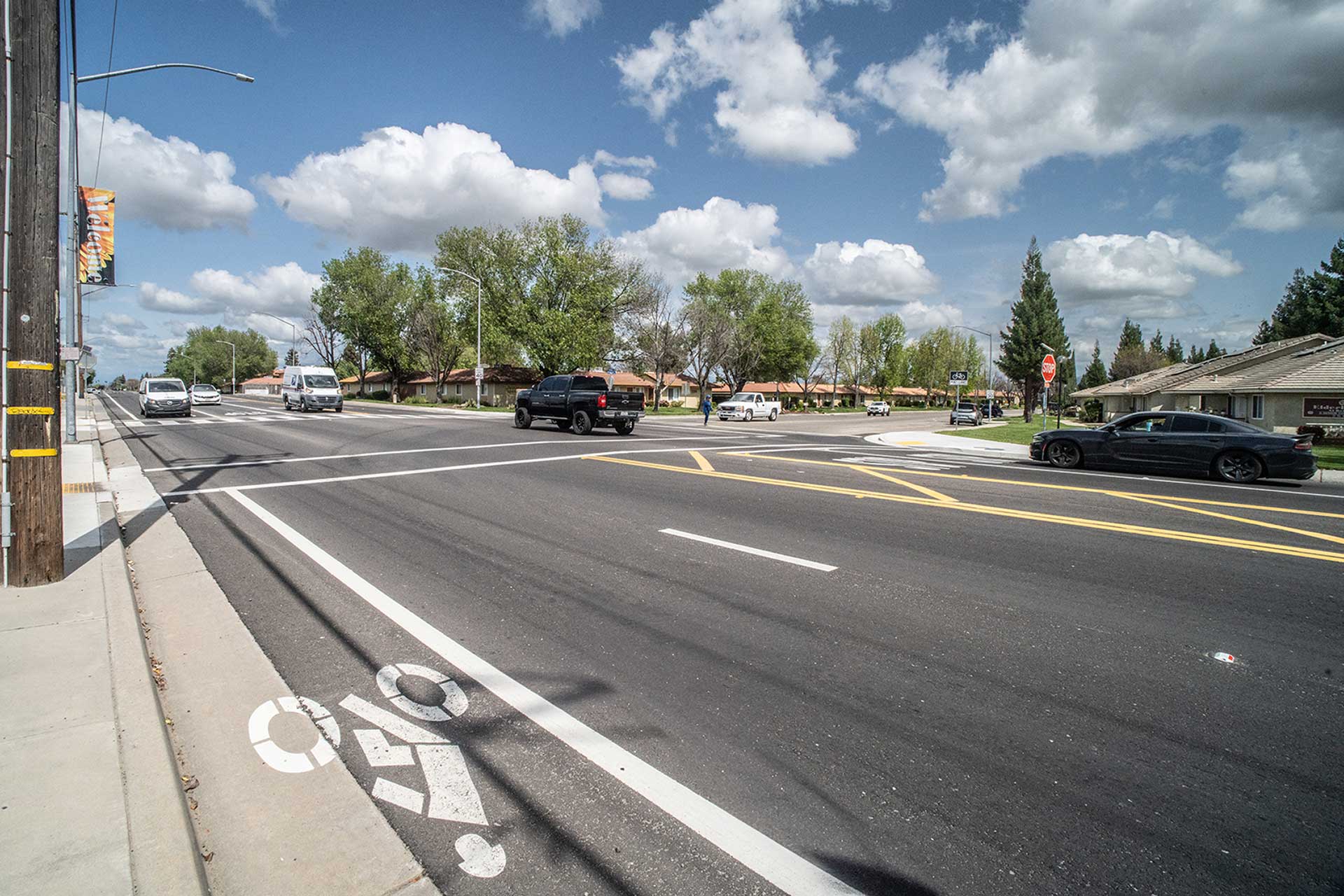
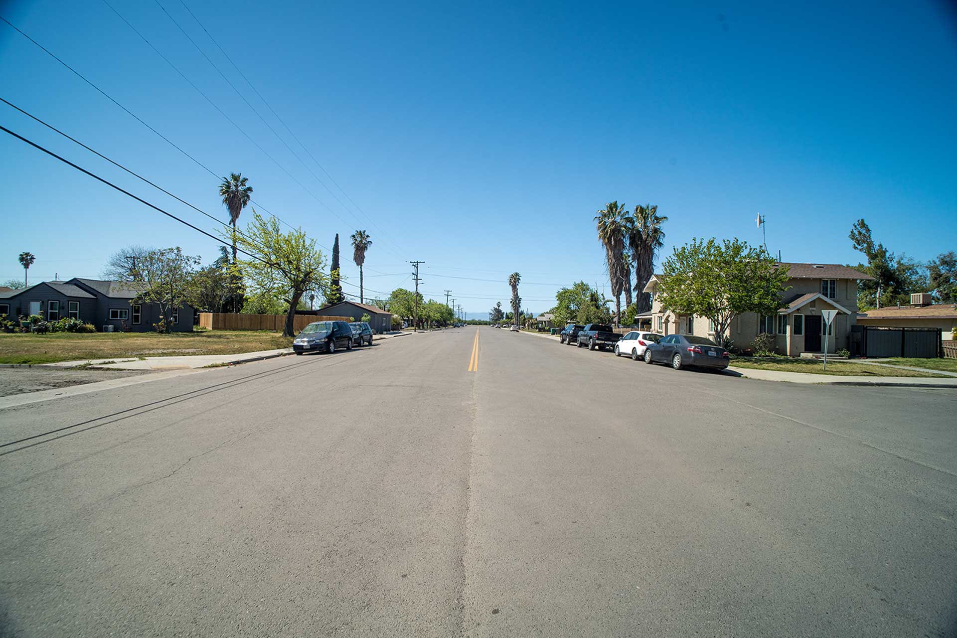
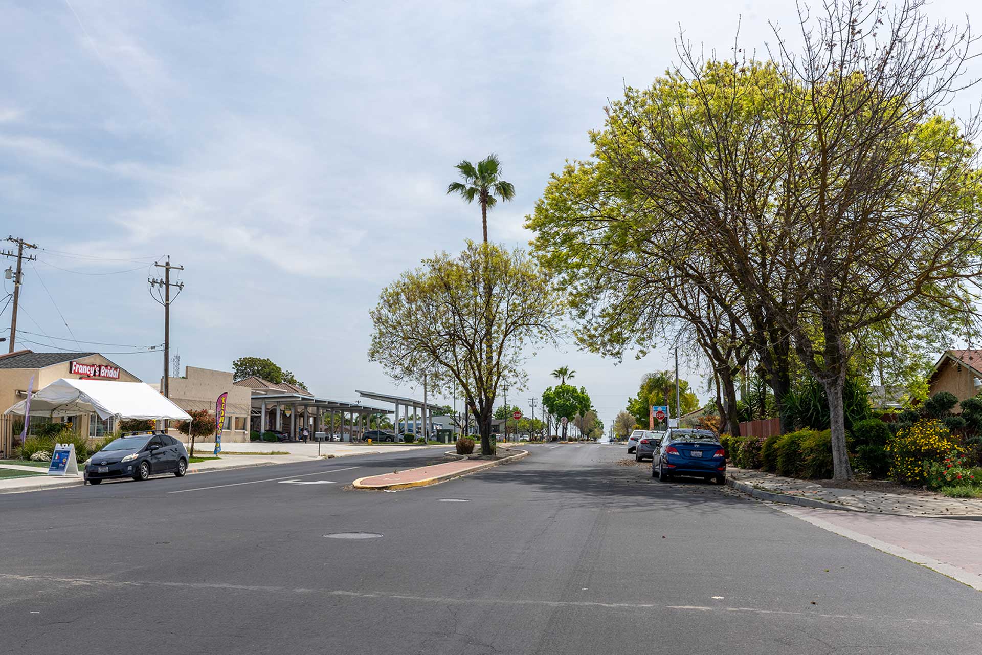
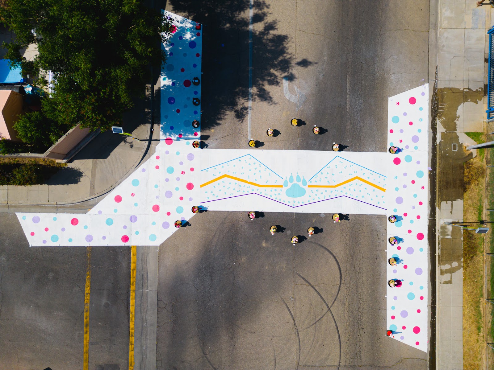
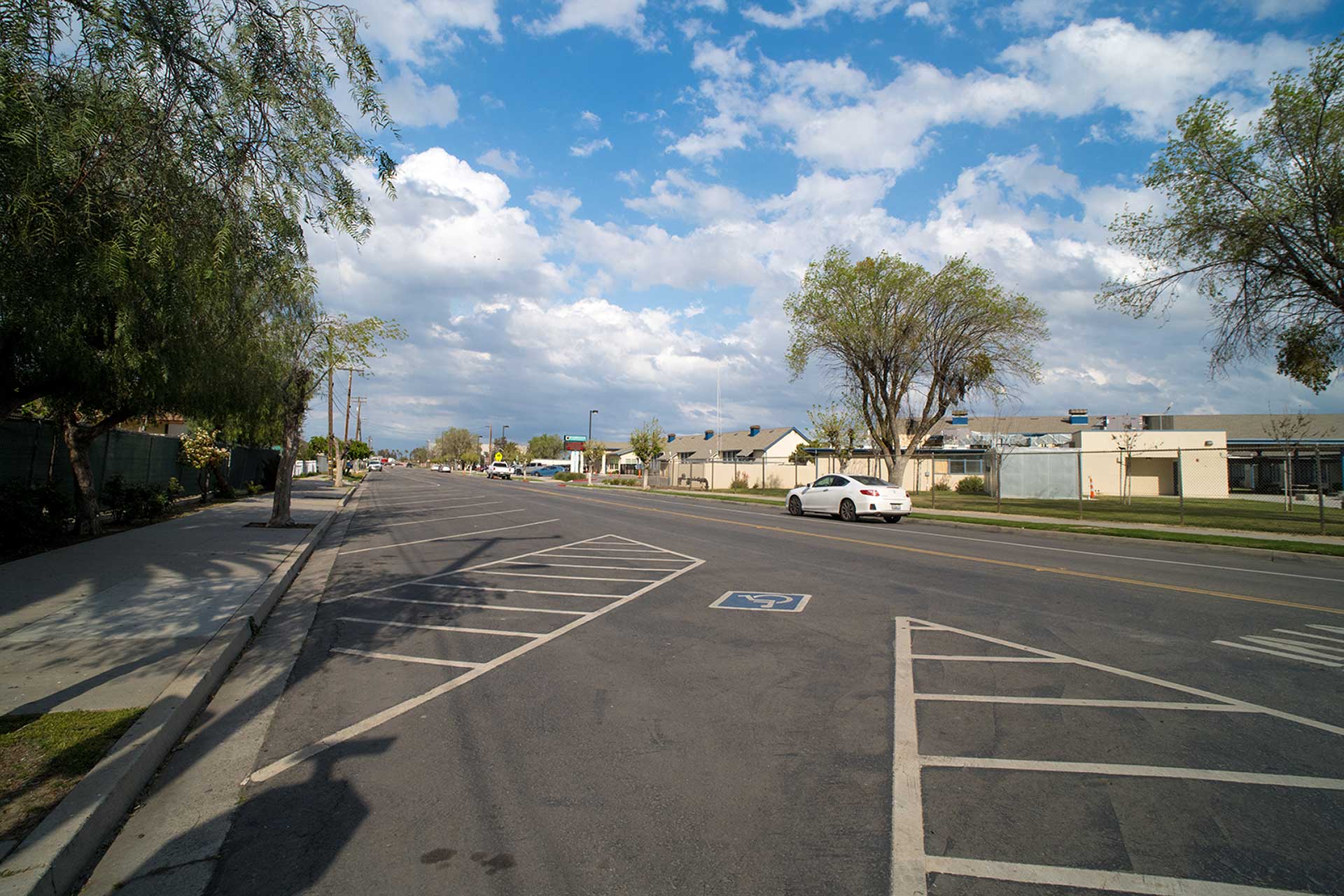
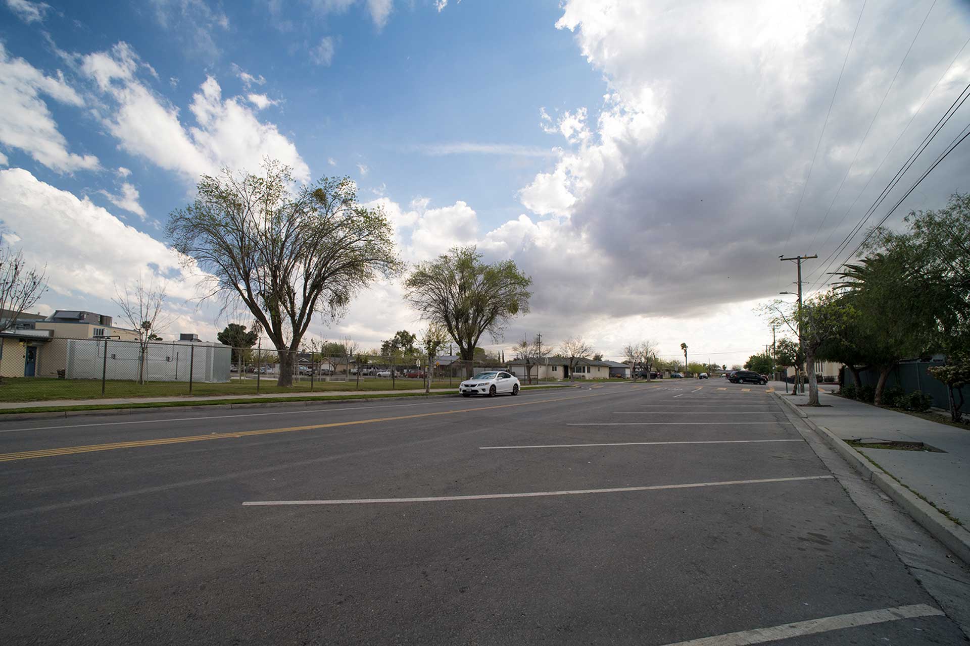
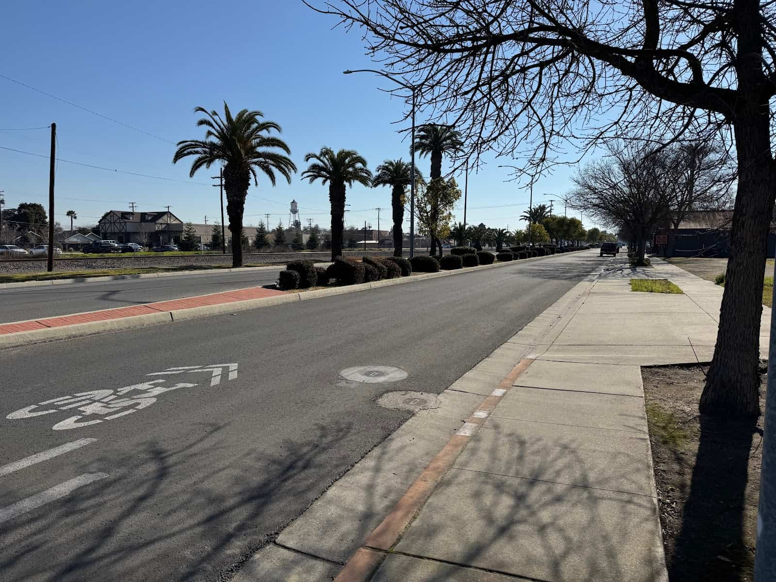
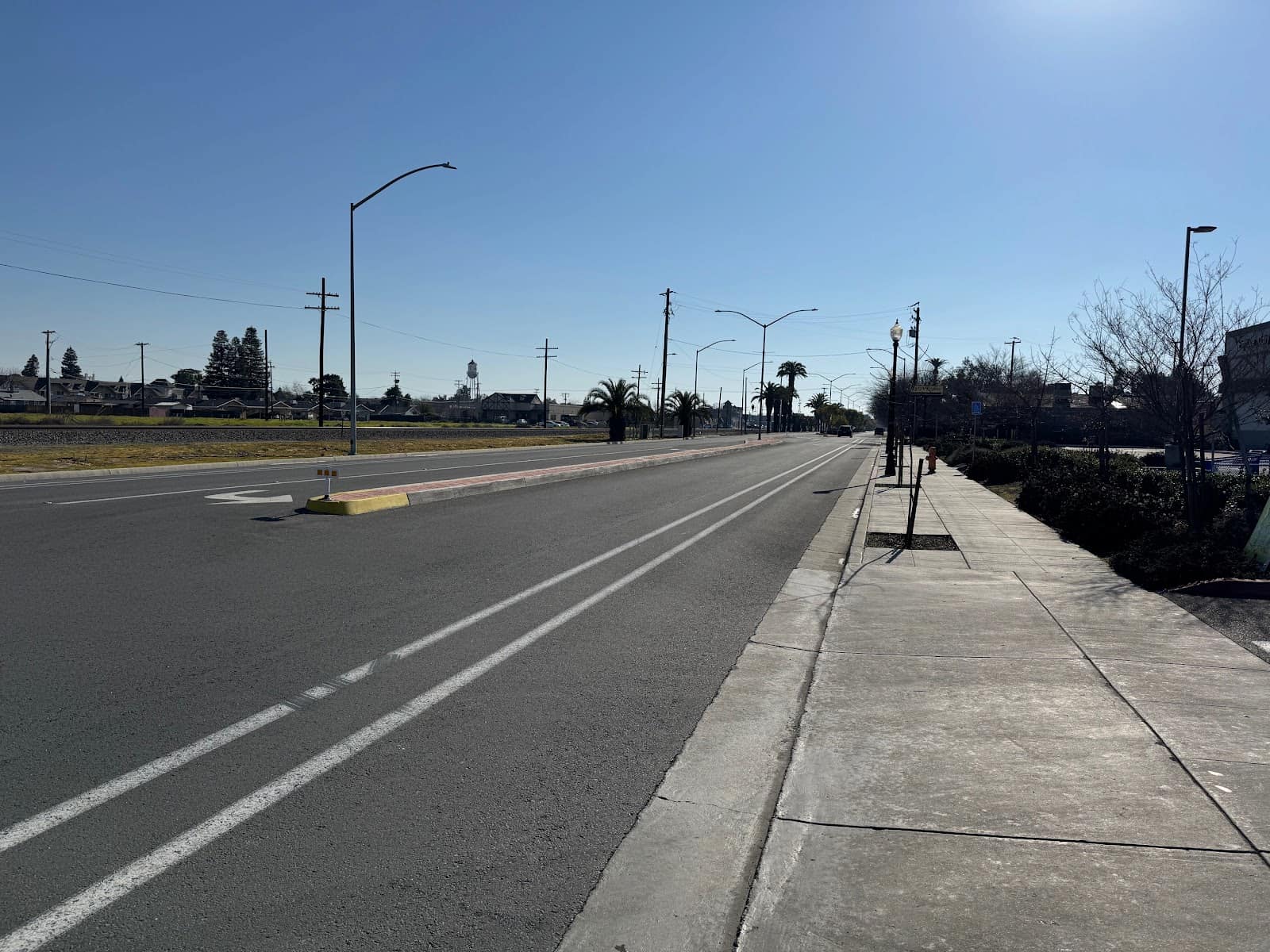
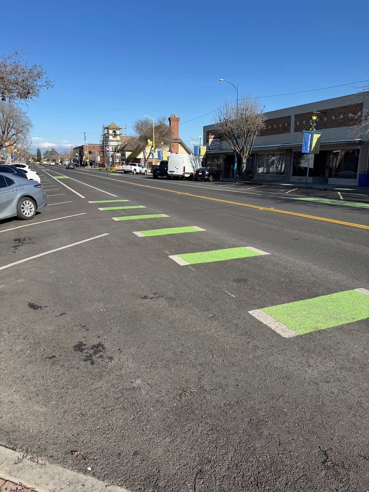
West Park Pedestrian Pathway
Project Description
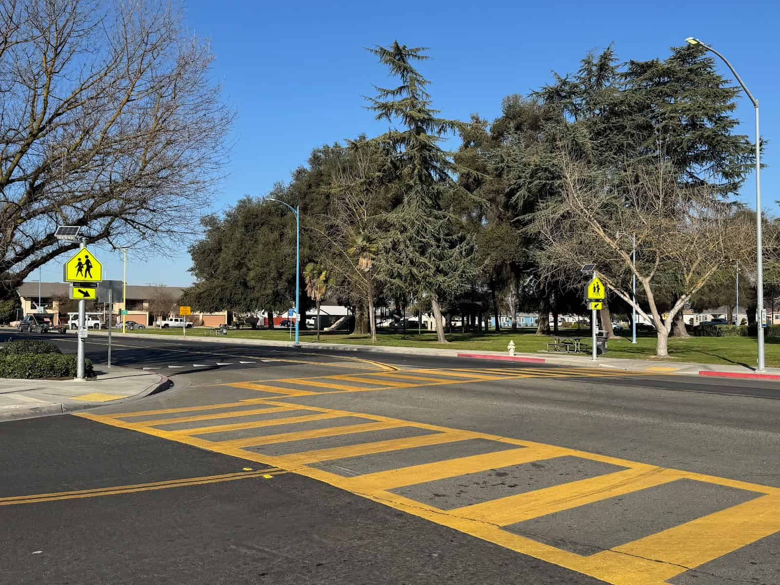
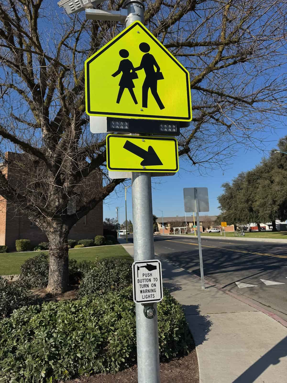
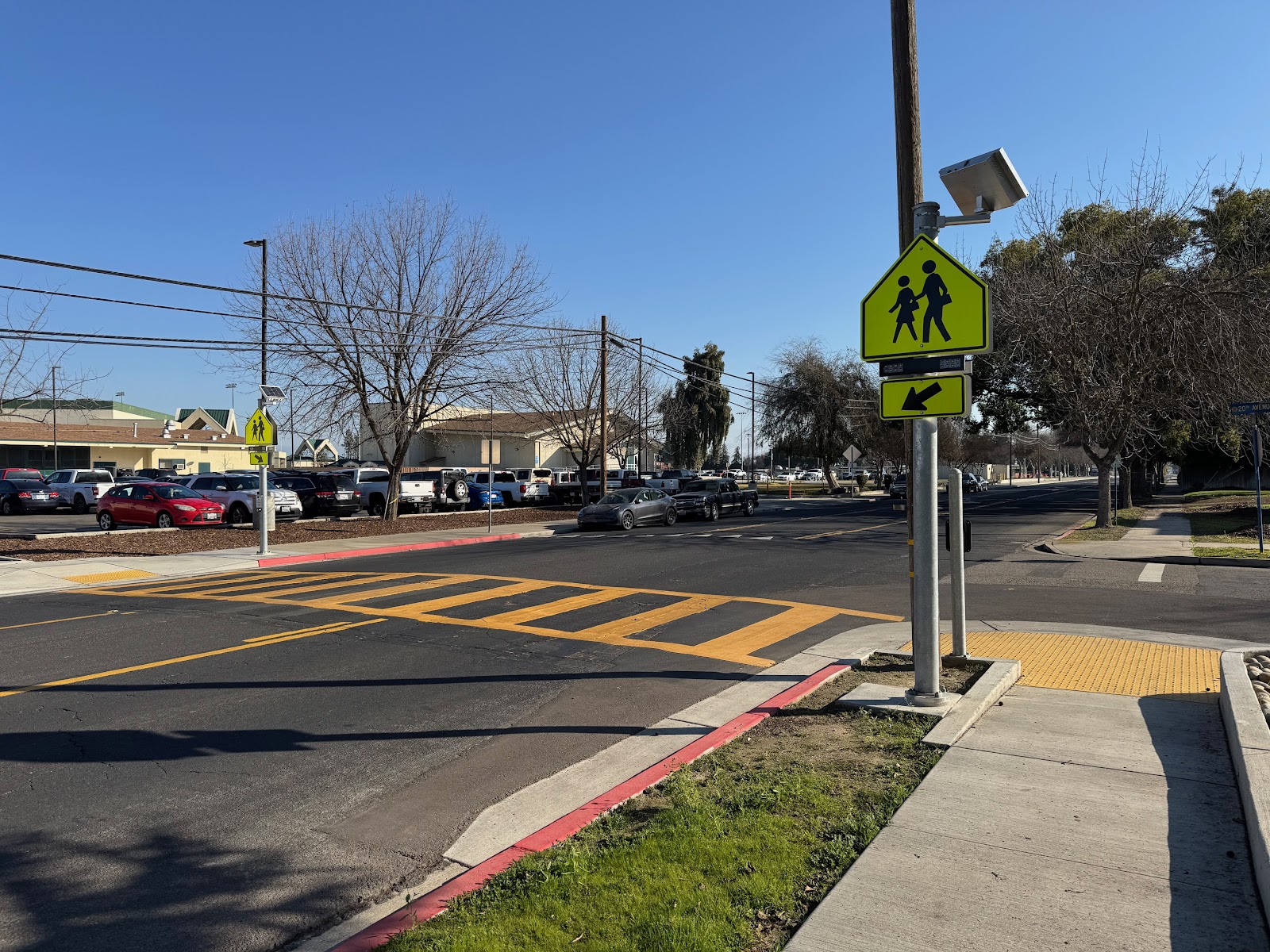
This project involves installing an asphalt concrete pathway for pedestrians. It also includes ramps and proper signage. The work will take place along Valentine Avenue from North Avenue to Grove Avenue. It will also stretch along Grove Avenue, from Valentine Avenue to Prospect Avenue. Adjustment of water meter boxes will be required as part of the work. Installation of a pedestrian crossing flashing sign with all appurtenant electrical work including coordination with PG&E Rule 16.
Project Location
The work will take place along Valentine Avenue from North Avenue to Grove Avenue. It will also stretch along Grove Avenue, from Valentine Avenue to Prospect Avenue.
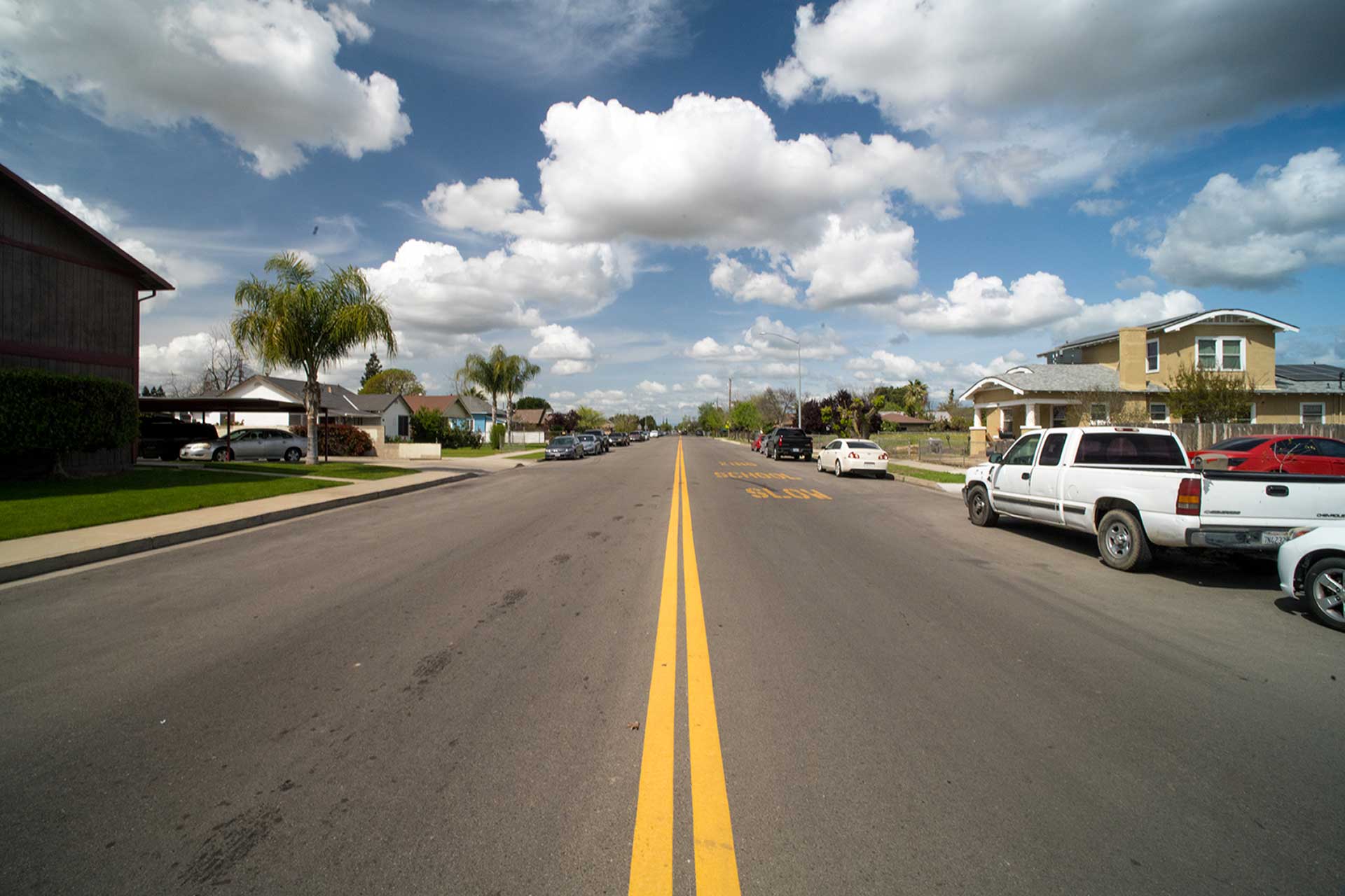
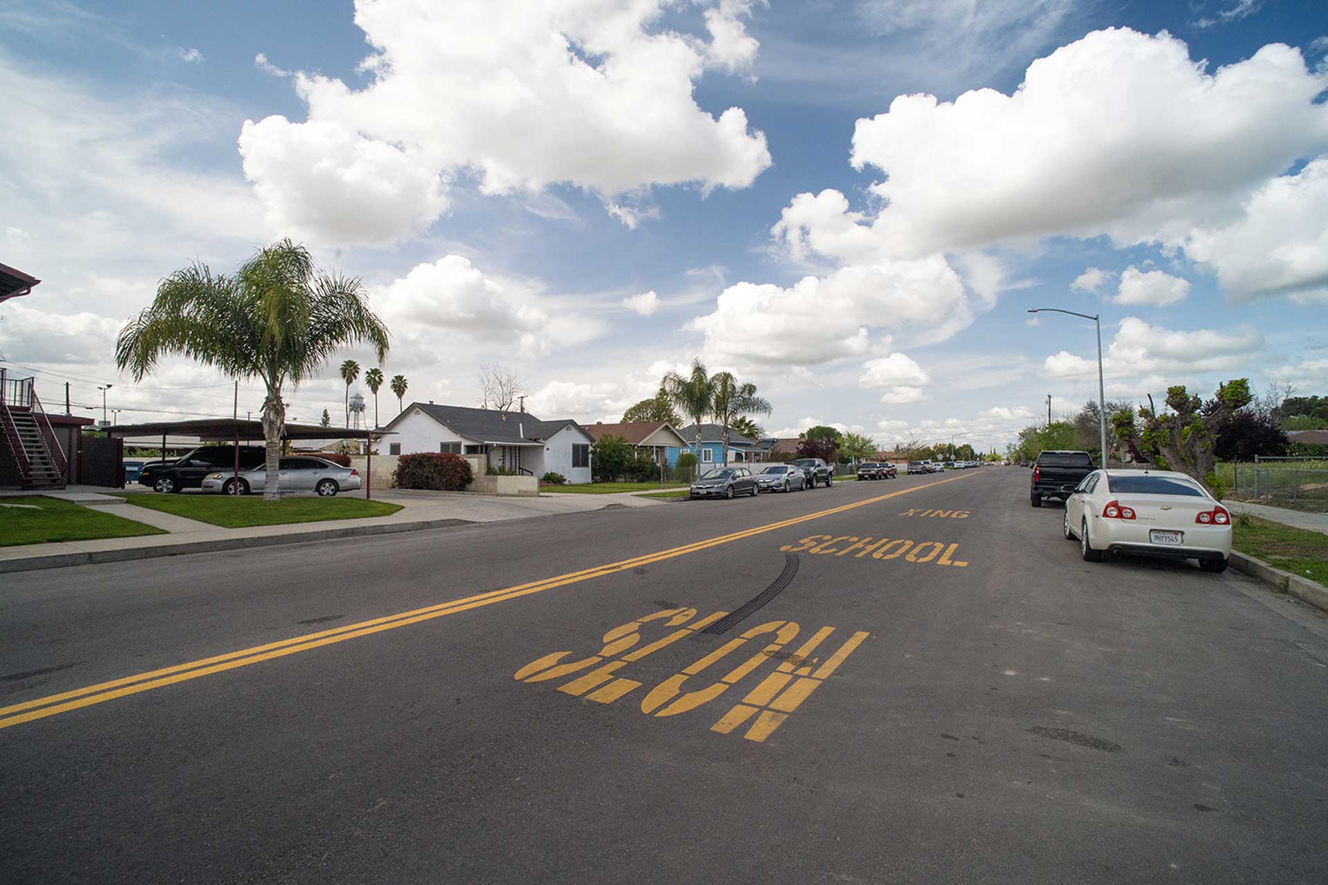
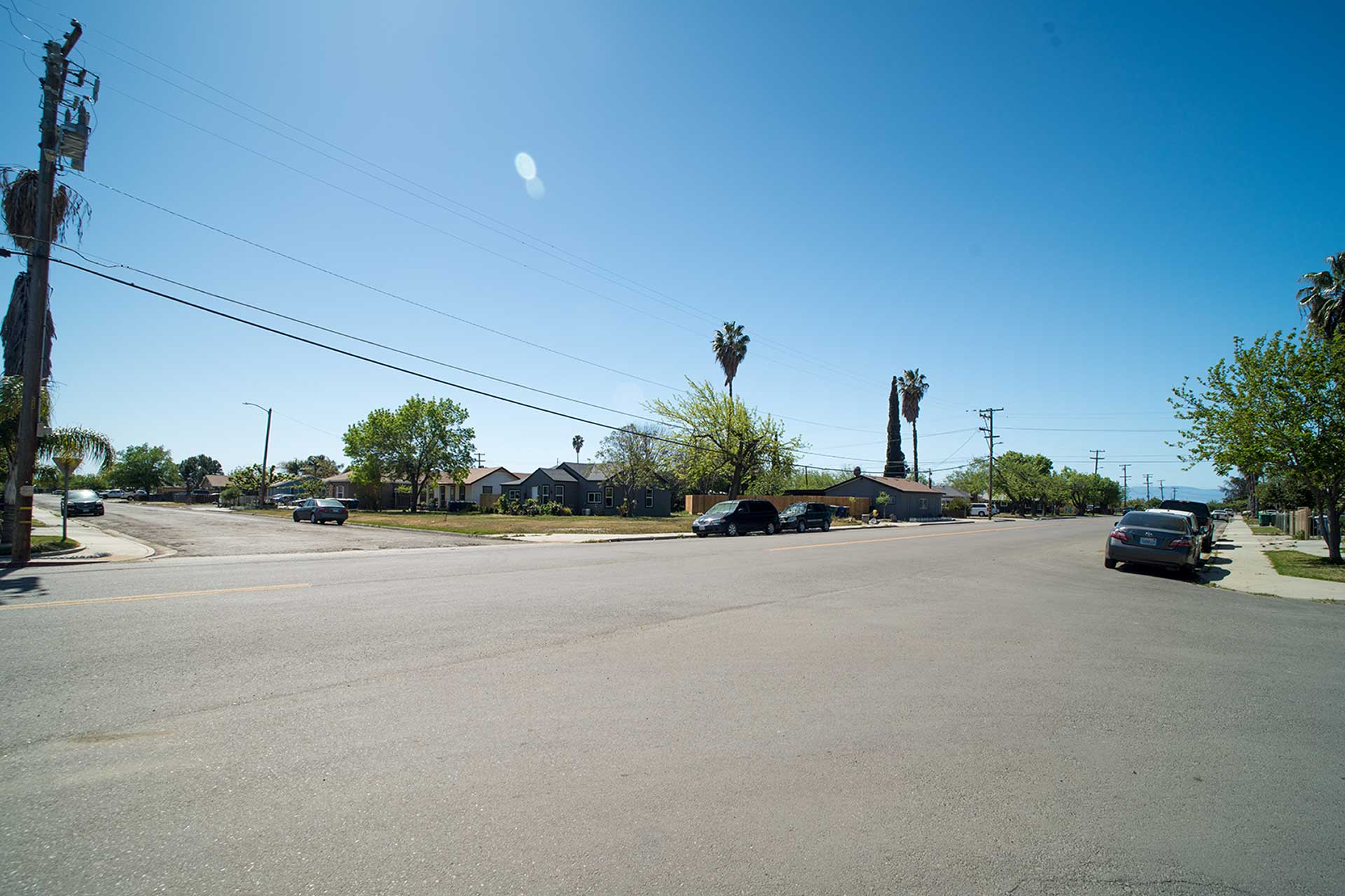
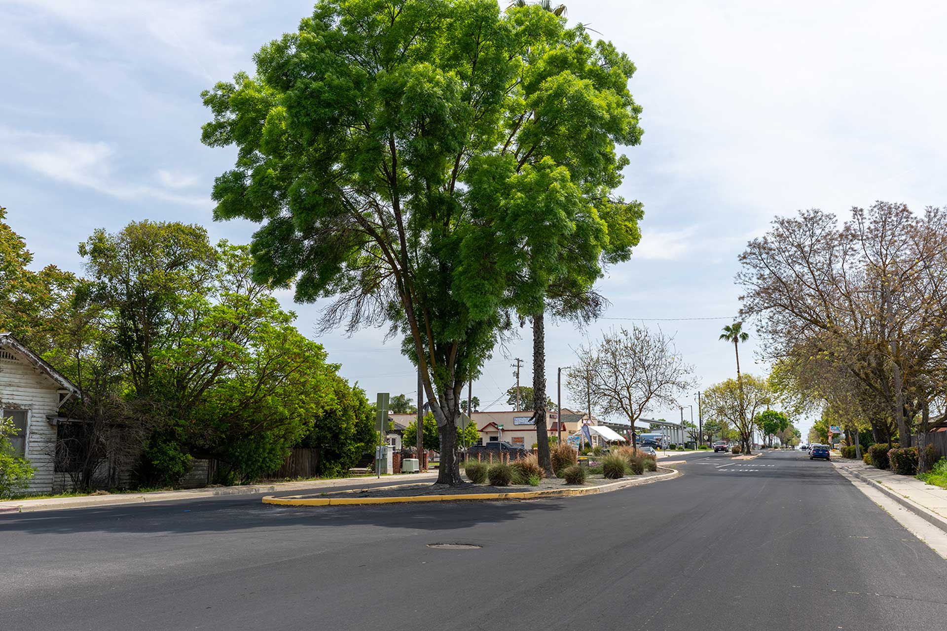
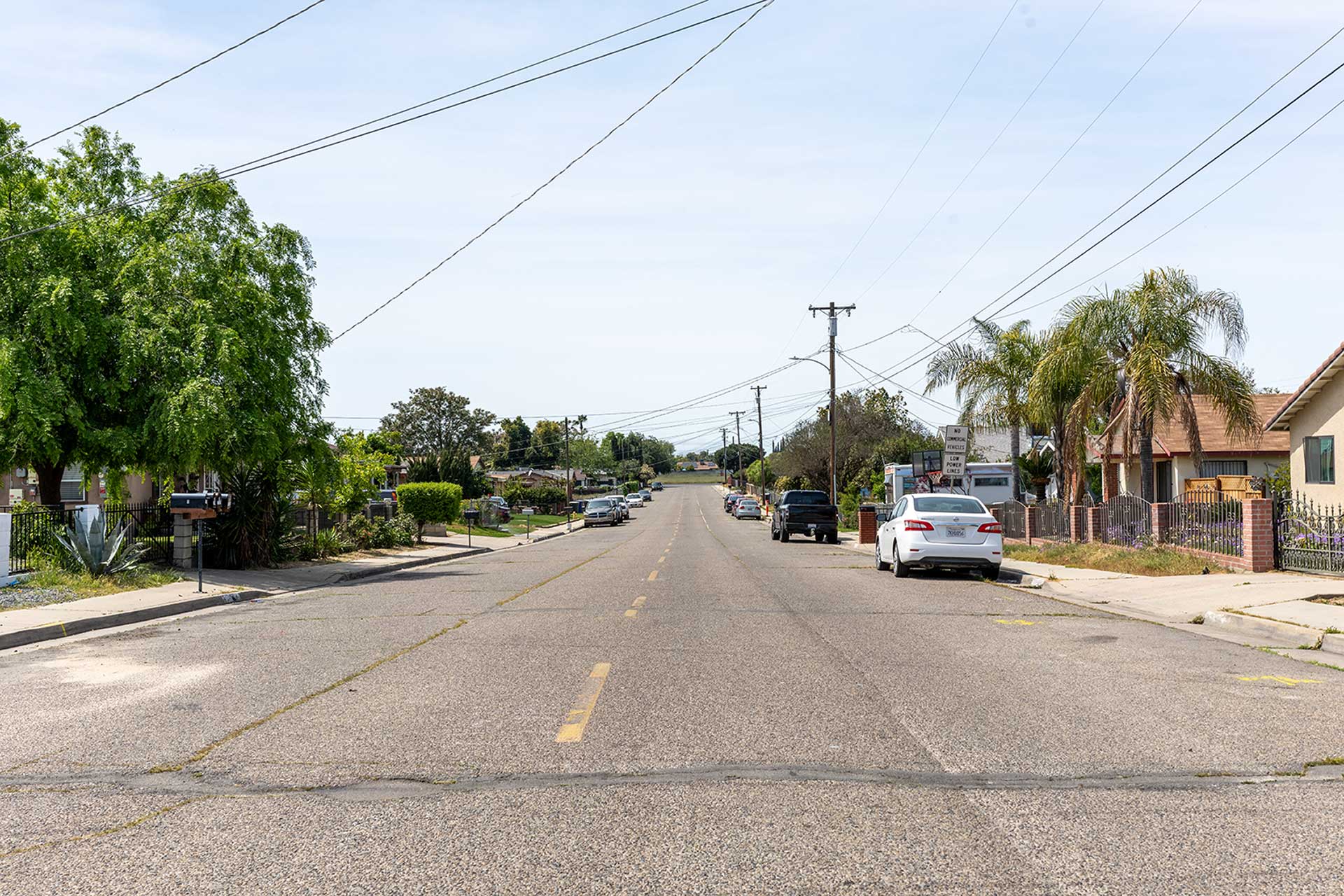
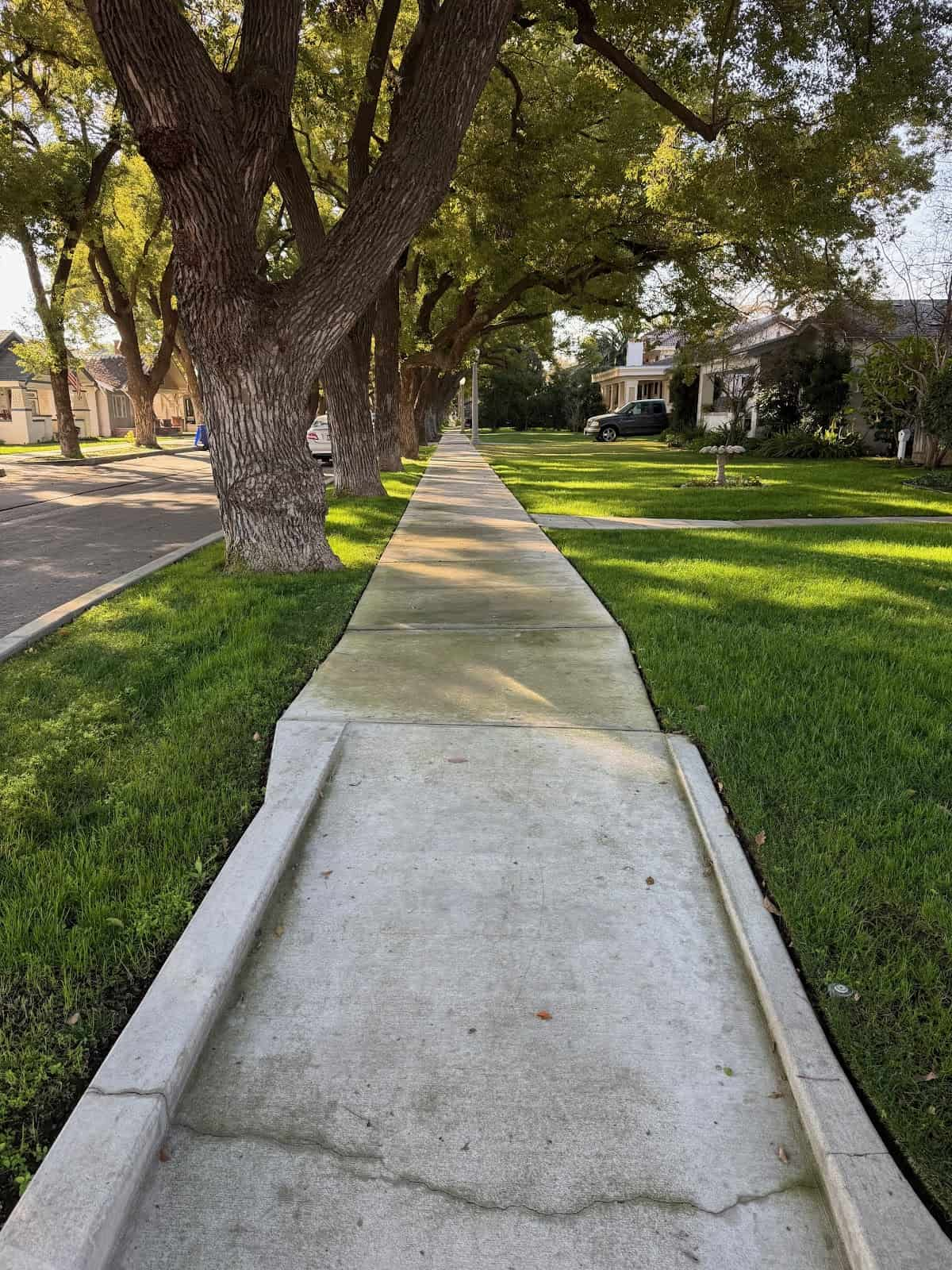
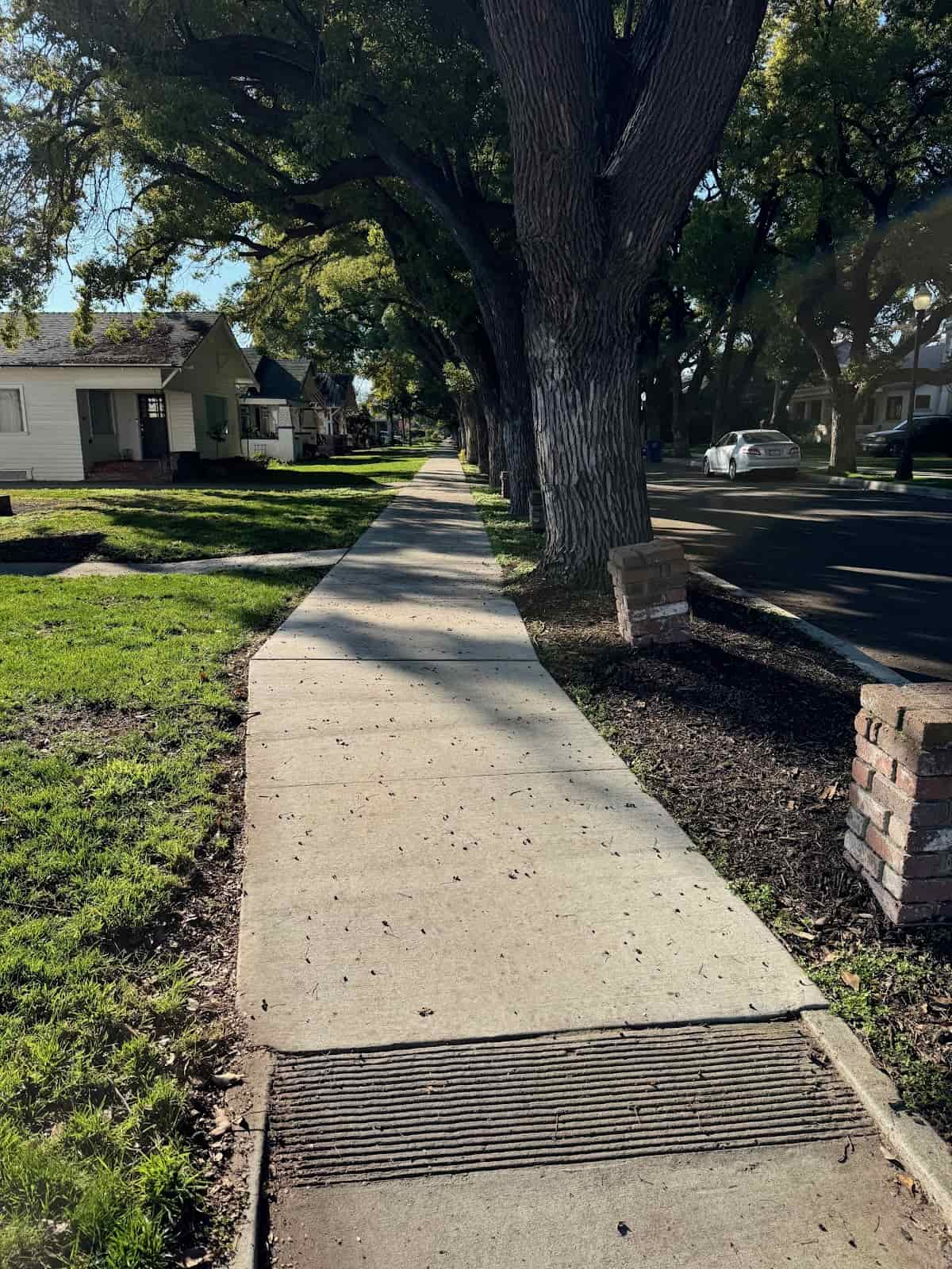
Biola Community Sidewalks
Project Description
The project includes installing 5-foot wide sidewalks, curb ramps, about 2,000 feet of curbs and gutters, and a storm drainage system. The project involves several key tasks. First, it will reconstruct and widen the east side of North Biola Avenue. Then, it will widen the shoulder on the west side of North Biola Avenue between E Street and D Street. Additionally, a section on the north side of West C Street up to the storm drain inlet near North 7th Ave will be worked on. Grinding and overlaying, or slurry sealing, will occur on the west side of North Biola Avenue and part of the south side of West C Street. This is done to protect the street and create a smoother surface. The work also includes signs and striping within the area. Two fire hydrants will be relocated. Additionally, water valve lids, storm drains, and sewer manhole lids will be adjusted to the correct grade. Items to be added include: installing electrical conduits, conductors, decorative street lights and other relevant work to provide fully functioning street lights along North Biola Ave.
Project Location
The work will take place on North Biola Ave, beginning between West Shaw Ave. and A St. and ending between West F St. and West G St. Additional work will be done on West C St. between North Biola Ave. and North Seventh St.
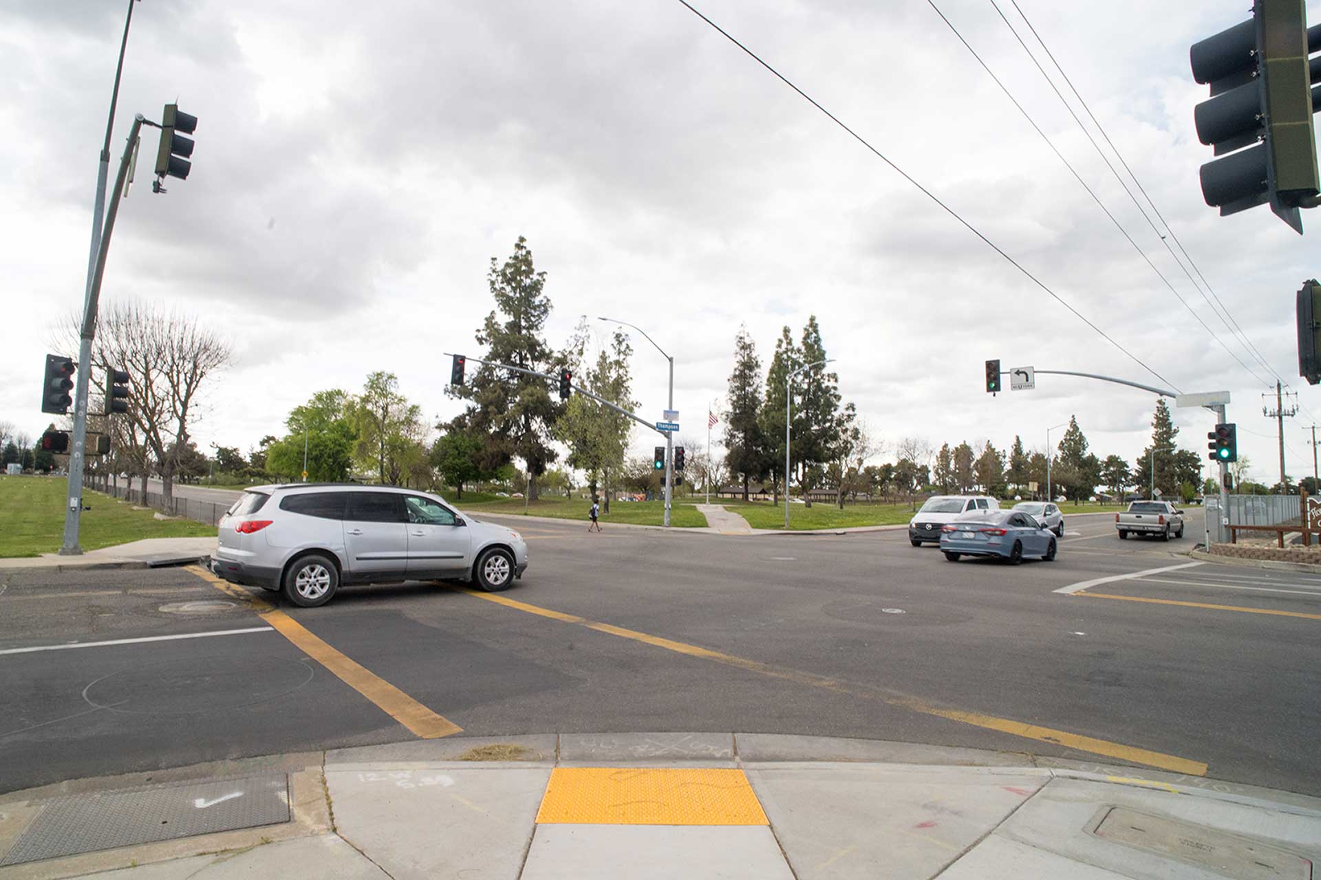
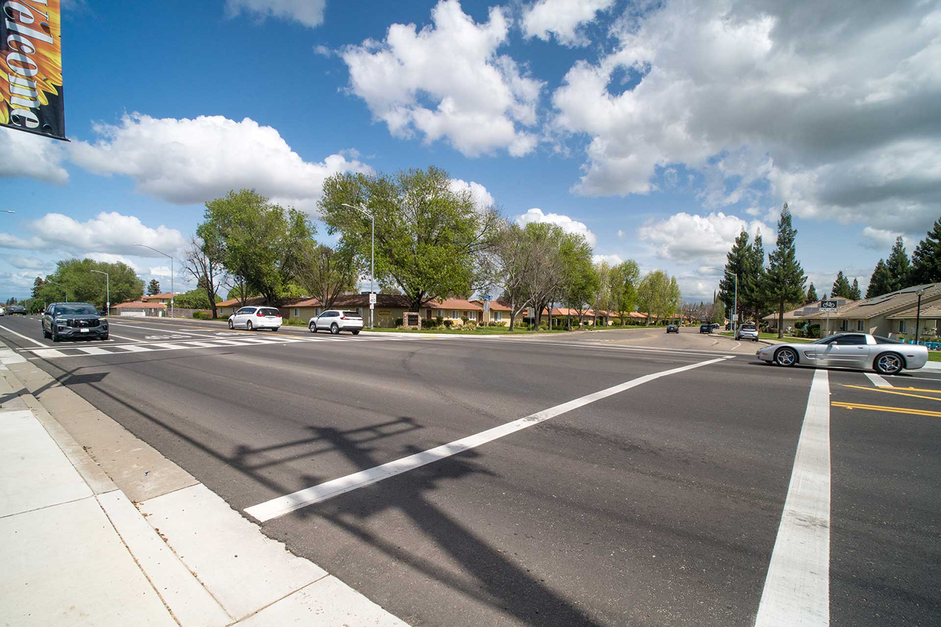
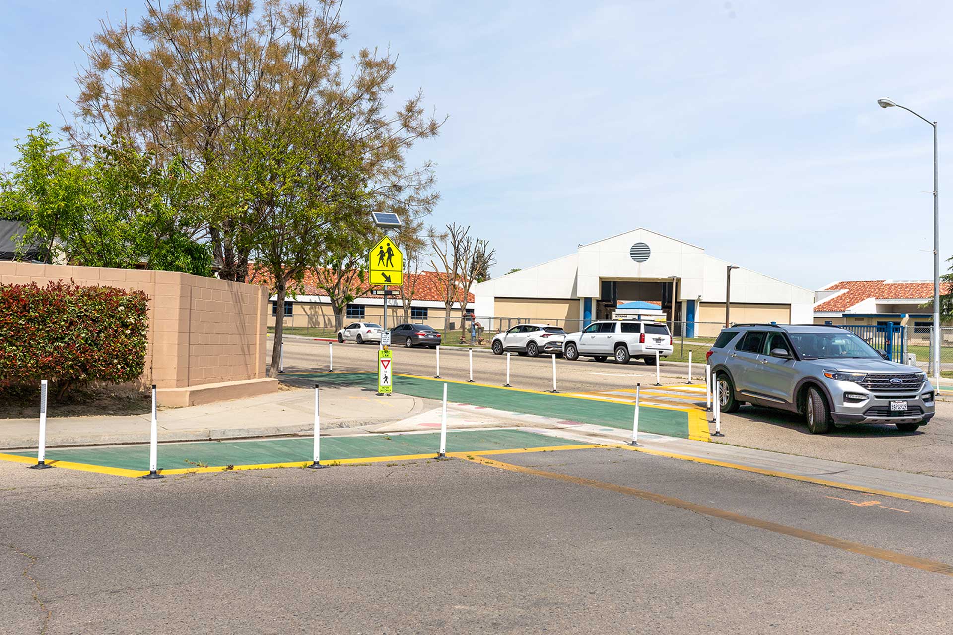
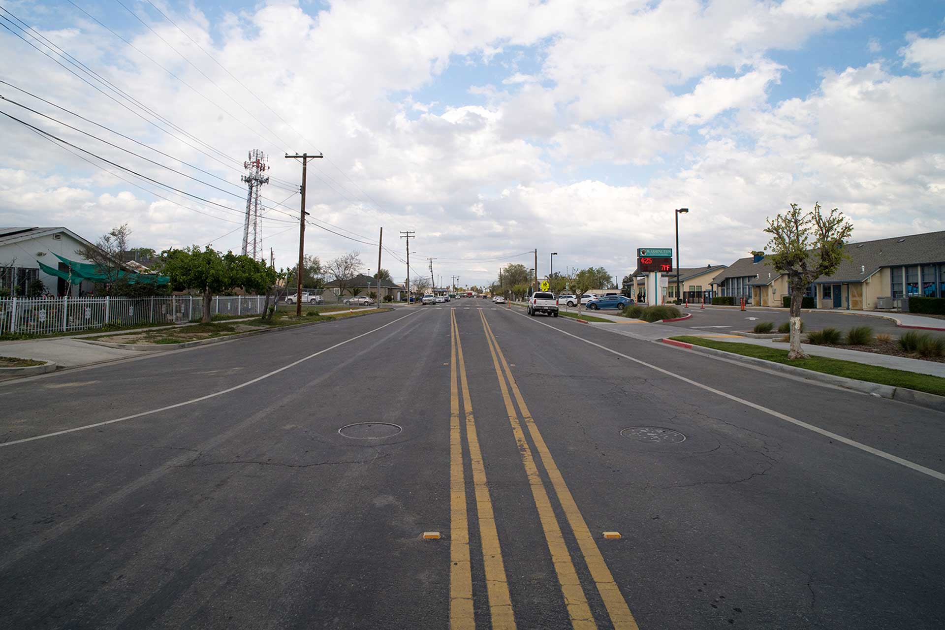
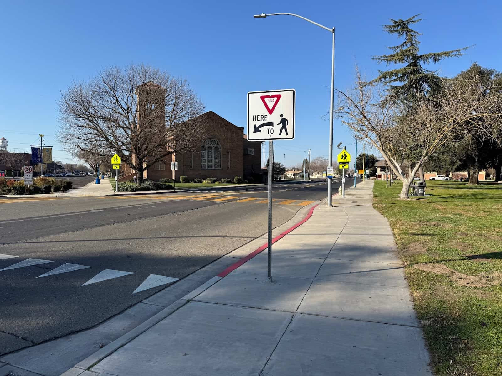
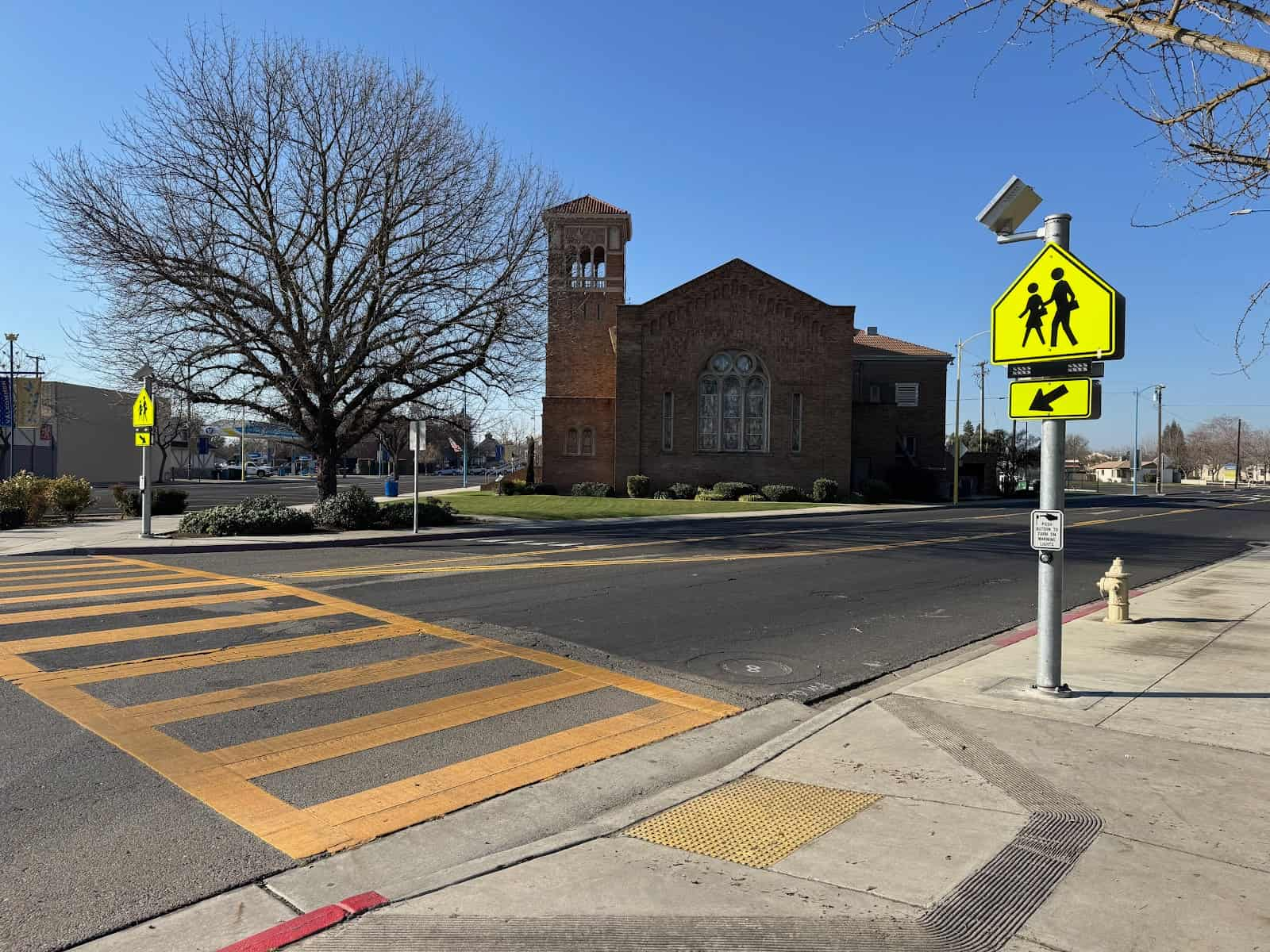
Ashlan and Palm Traffic Signal
Project Description
This project will fully replace the traffic signal. It will also remove an old drain inlet and several trees. Finally, it will reconstruct the pavement at the intersection of Palm Avenue and Ashlan Avenue.
The work will include:
- Cold planing and overlaying
- Installing four (4) new concrete curb ramps
- Replacing and installing new curb and gutter
- Installing about 140 linear feet of sidewalk
- Adding signs, striping, and pavement markings
The work will also need to coordinate with utility companies and the City of Fresno. The intersection shall remain open during the entire duration of the project.
Project Location
The work will take place at the intersection of North Palm and East Ashlan Avenues.
More Impact in Fresno County
What else has Measure C done for the County of Fresno?
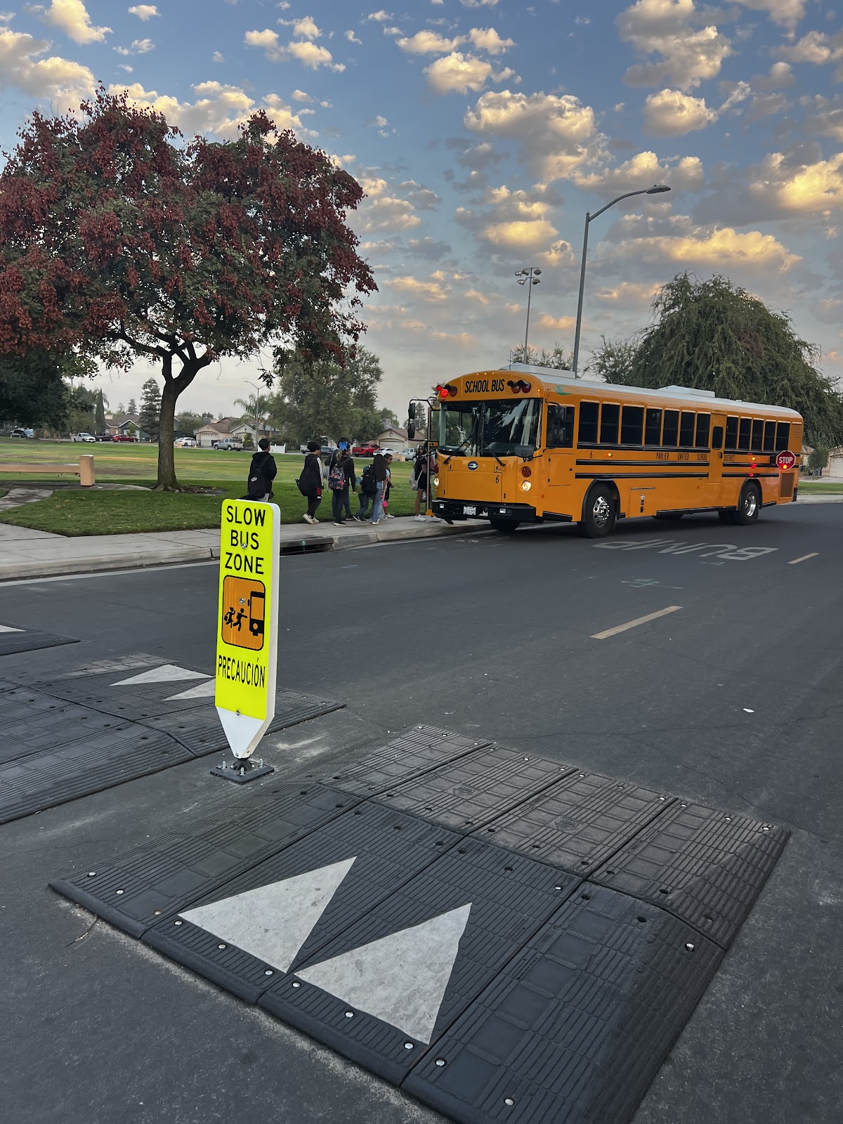
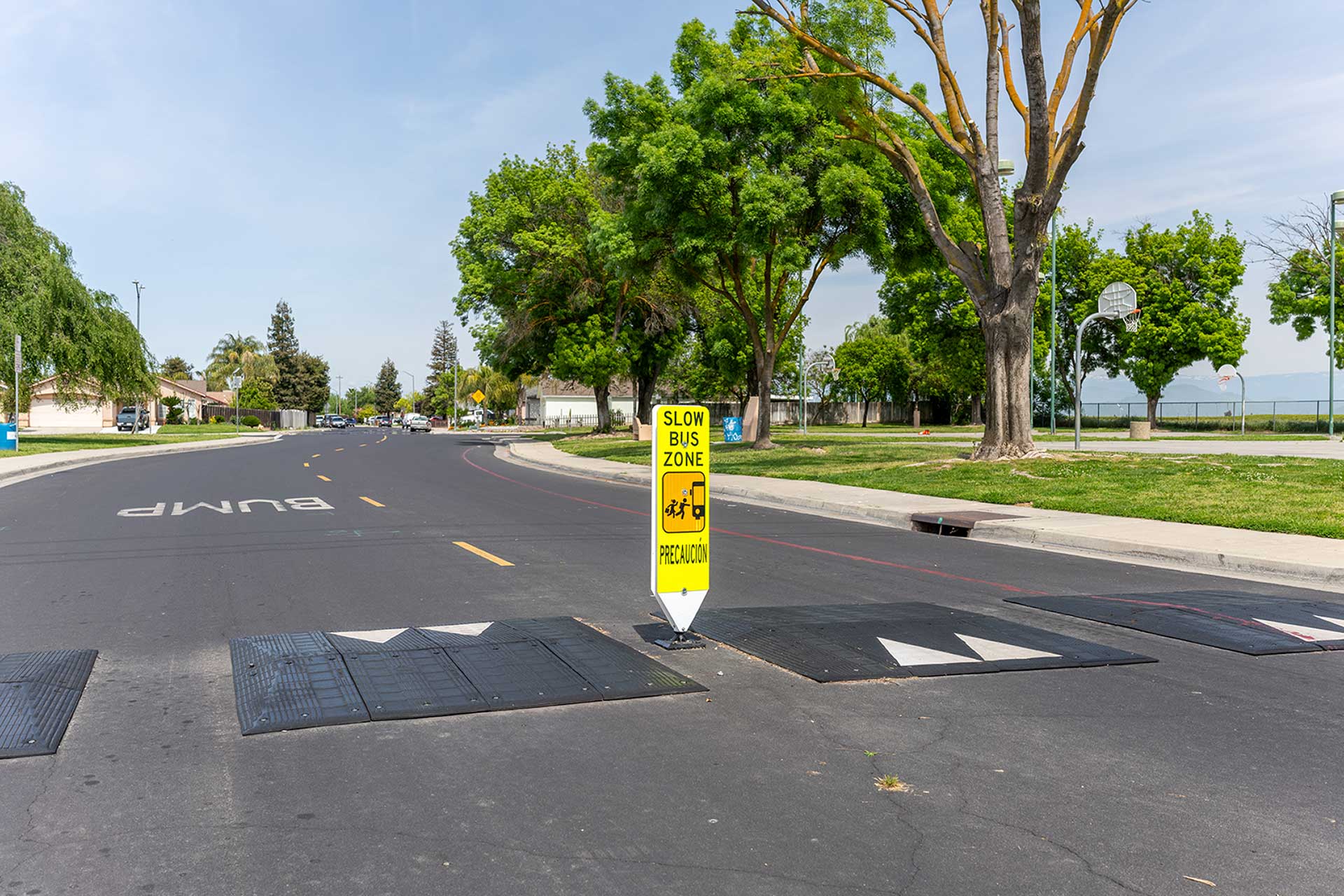
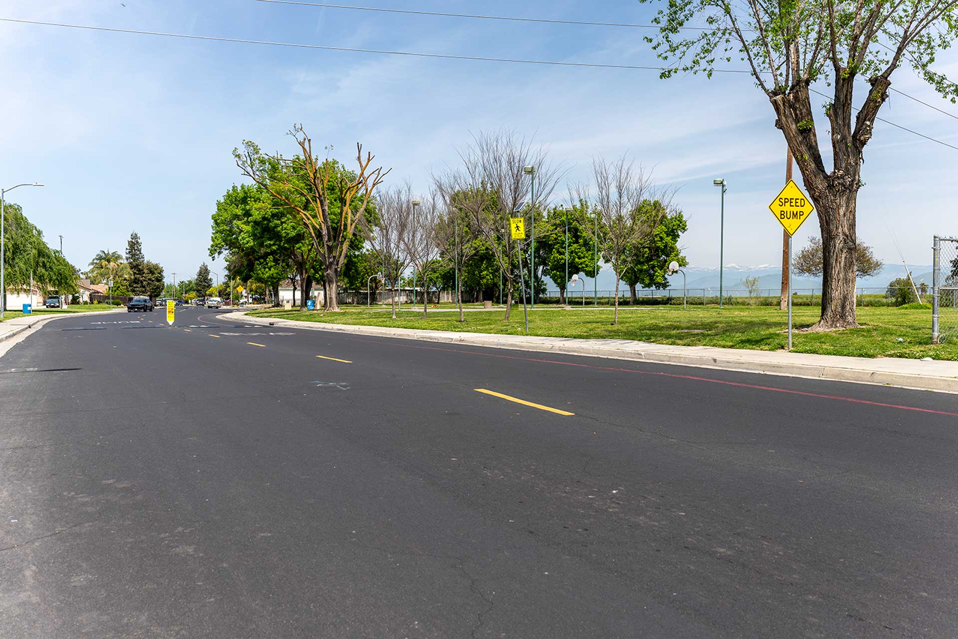
Measure C has improved streets and roads in Fresno County. It patched and repaved surfaces, making them safer and longer-lasting. The Measure also funded upgrades for people with disabilities. This included rebuilding concrete ramps and making an ADA Transition Plan for Fresno County facilities.
Measure C also supported bicycle and trail projects. It helped make the County’s Pedestrian Master Plan, Rural Pedestrian Master Plan, and Bicycle Master Plan. It funded bike lanes on Annadale, Copper, Fruit, and Cedar Avenues. It also installed a HAWK crossing signal at Herndon-Barstow Middle School. Sidewalks and paths were built in communities like Calwa, Biola, Laton, Easton, Caruthers, Del Rey, and West Park. Measure C also helped maintain and improve trails like the Bridle Path and San Joaquin River Trails.
Measure C also funded underground utility upgrades in the county. It supported projects such as the Calwa Complete Streets project, Little Dry Creek Bridge Replacement, and Bald Creek Bridge on Jose Basin. These funds helped Fresno County match grants. This secured state and federal money for many projects.
Funding Received
2007-2024 Funding Totals to Date
Program(s)
Measure C Funds*
Street Maintenance
$50,176,270.31
ADA Compliance
$1,652,467.43
Flexible Funding
$48,523,578.64
Pedestrian/Trails – Urban
$1,704,207.44
Pedestrian/Trails – Rural
$4,862,612.75
Bicycle Facilities
$3,121,260.80
Total
$110,038,325.22*
*This total includes interest earned while saving up for big projects. That means that the amount spent on your community is more than the amount collected from sales tax.